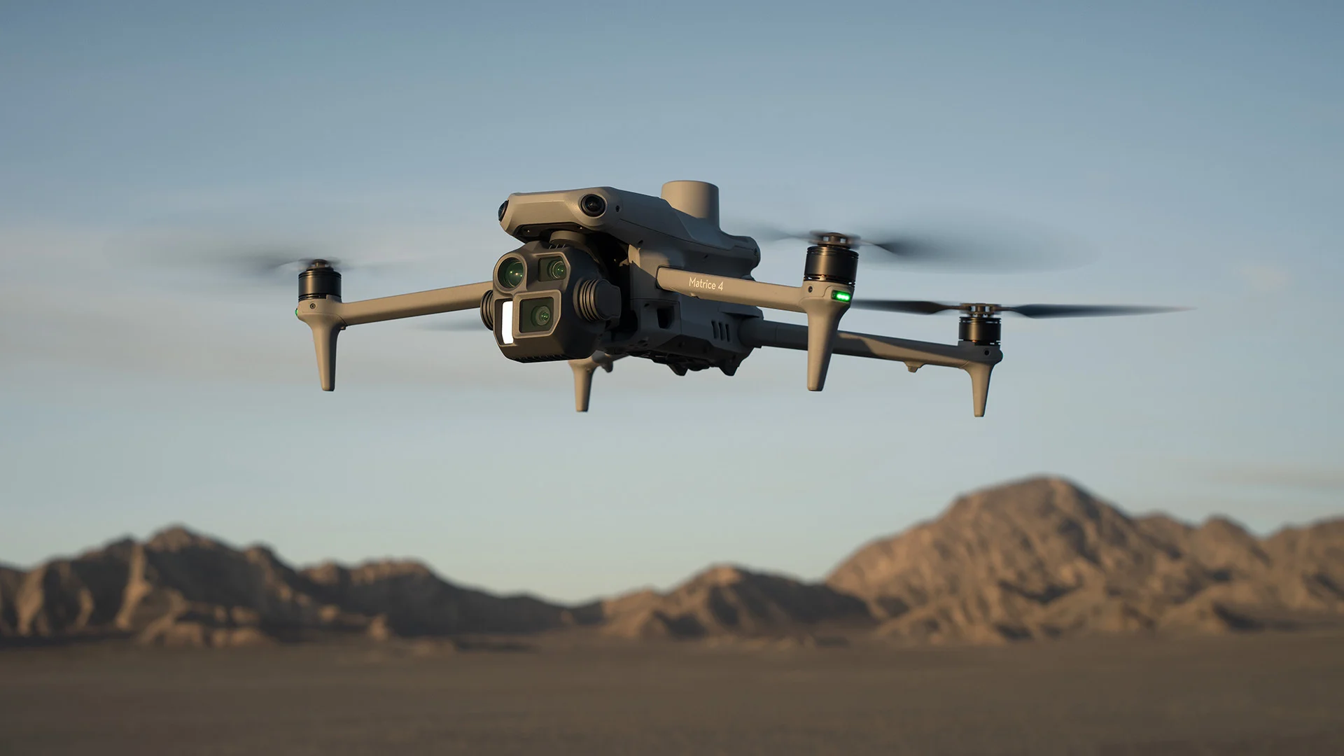
It is a modern surveying method that uses drones equipped with high-precision gps technology to capture accurate aerial data in real time. Rtk enhances the drone’s gps accuracy by correcting signal errors instantly, delivering centimeter-level positioning. This technology allows surveyors to collect highly accurate topographic and geospatial data faster and more efficiently than traditional methods. It’s especially useful for large, complex, or hard-to-reach areas like construction sites, mining operations, agriculture fields, and infrastructure projects. Rtk drone surveys reduce the need for ground control points, speed up data processing, and provide high-resolution orthomosaic maps, 3d models, and contour lines with minimal error.
Who we are
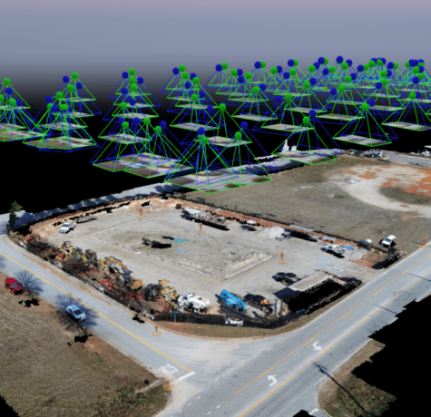
Photogrammetry Drone Survey
A Photogrammetry Drone Survey is an advanced mapping technique that uses high-resolution drone imagery to accurately measure, map, and model the Earth’s surface. By capturing overlapping aerial photographs and processing them with specialized software, precise 2D maps, 3D models, and elevation data are generated efficiently and cost-effectively.