Related Project
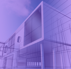
BIM (Building Information Modeling) is a digital process used to create intelligent 3D models…

Roof hen an unknown printer took a galley of type and scrambled itheiro make…

Roof hen an unknown printer took a galley of type and scrambled itheiro make…

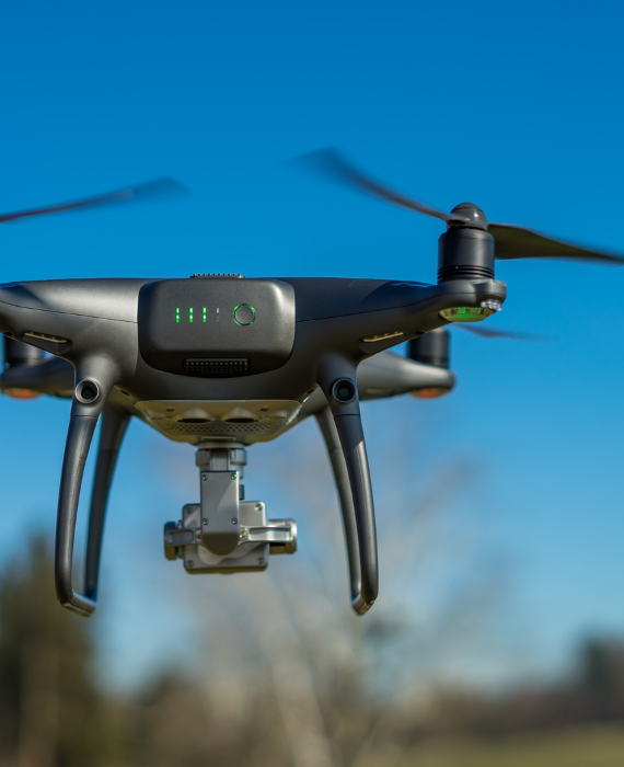
is a modern surveying method that uses drones equipped with high-precision GPS technology to…

Roof hen an unknown printer took a galley of type and scrambled itheiro make…
Roof hen an unknown printer took a galley of type and scrambled itheiro make…