A Dubai-based drone survey and geospatial engineering company, built to turn aerial and ground data into decisions your project can rely on.
Geo Metrix is a drone services and geospatial engineering company operating out of Al Moosa Tower 2 on Sheikh Zayed Road, Dubai, with project experience across every Emirate. We combine drone-based aerial capture, ground-based mobile mapping and geospatial engineering to give construction, infrastructure and planning teams accurate, structured data about the sites they work on.
Rather than treating data capture and design as separate steps, we connect them — carrying a site from raw aerial imagery through to processed maps, GIS layers and BIM-ready models, so downstream teams can start designing sooner and with more confidence in what they’re building against.
Talk to Our Team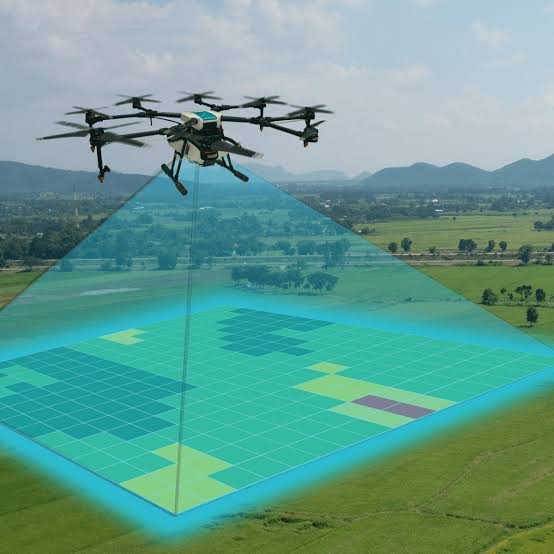
To make accurate, survey-grade geospatial data accessible and usable at every stage of a project — from feasibility and design through construction and handover.
We combine aerial and ground-based capture with in-house geospatial and BIM processing, so every deliverable is ready to plug into your existing workflow — not another format to translate.
A consistent, four-stage process for every project, regardless of size.
We scope the site, define accuracy requirements and plan flight or capture paths around access, airspace and safety considerations.
Drone, mobile mapping or ground survey equipment collects imagery and geospatial data on site.
Raw data is processed into orthomosaics, point clouds, terrain models, GIS layers or BIM elements.
Final outputs are packaged in the formats your team already works in, with a clear report on methodology and accuracy.
Send us your site location and requirements — we’ll recommend the right approach.