Geo Metrix
Get a Quote

Our Services

Seven connected service lines covering aerial capture, ground mapping, spatial analysis and design-ready modeling.

Photogrammetry

We turn overlapping aerial photographs into precise, measurable outputs — orthomosaics, dense point clouds and textured 3D models that reflect real site conditions.

  • High-resolution orthomosaics and digital surface models
  • Textured 3D models for visualization and volumetrics
  • Ground control point workflows for survey-grade accuracy
Drone camera and gimbal equipment used for photogrammetry capture

Drone Survey

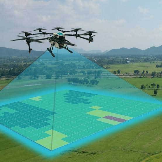
Fast, safe aerial data collection using UAVs — ideal for large, remote or hard-to-access sites where traditional ground survey alone is slow or impractical.
  • Rapid site-wide data capture in a single mobilization
  • Flight planning around airspace, safety and site access
  • Raw and processed deliverables for any project stage
Drone flying over farmland capturing aerial survey data

Mobile Mapping

Vehicle-mounted and portable mobile mapping systems capture continuous, geo-referenced imagery and point cloud data along roads, corridors and infrastructure networks.

  • Corridor and route mapping at driving speed
  • Asset inventory for roads, utilities and street infrastructure
  • Complements aerial capture where drone access is restricted
Vehicle-mounted mobile mapping system on a survey van

Topographic Surveys

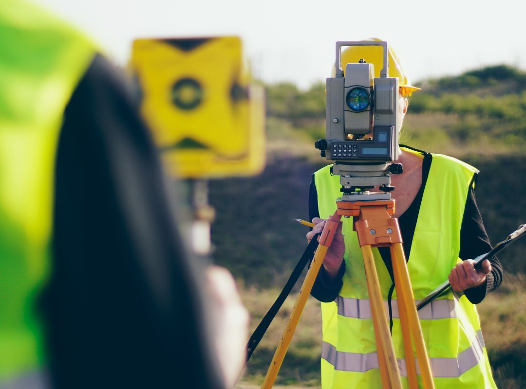
Detailed elevation and terrain data — combining aerial and ground methods — to give civil and infrastructure teams a reliable base for design.
  • Contour and elevation datasets for civil design
  • Earthworks and cut/fill volume calculations
  • Baseline surveys for feasibility and masterplanning
Surveyor using a total station on site

Construction Progress Monitoring

Scheduled aerial capture throughout the build program, giving project teams a consistent visual and measurable record of progress against plan.

  • Regular flyovers on a weekly, monthly or milestone basis
  • Time-lapse comparisons and stockpile/volume tracking
  • Reporting formatted for owners, consultants and contractors
Drone monitoring a construction site with site engineers

GIS

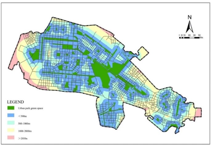
We structure spatial data into organized, analyzable GIS layers — turning raw survey and mapping outputs into information that supports planning and decision-making.
  • Layered spatial databases for land, assets and infrastructure
  • Spatial analysis for site selection and land studies
  • Web and desktop GIS-ready map packages
GIS map showing spatial land-use analysis

BIM Design Services

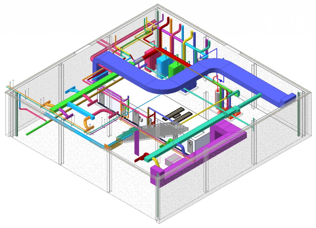
Survey and scan data converted into coordinated, design-ready BIM models — giving architecture, structural and MEP teams a reliable digital starting point.
  • Scan-to-BIM and survey-to-BIM modeling
  • Coordinated models for architecture, structure and MEP
  • Delivered in industry-standard BIM software formats
Coordinated BIM model of building MEP systems

Not sure which service fits your project?

Share your site details and requirements — we’ll recommend the right combination of services.
Request a Quote