Geo Metrix captures, processes and delivers survey-grade aerial and ground data across Dubai, Abu Dhabi and the wider UAE — turning raw site conditions into accurate maps, models and design-ready deliverables.


From a single aerial pass to a fully modeled BIM asset, our services cover the full data pipeline your project needs.

High-overlap aerial imagery processed into survey-grade orthomosaics, point clouds and 3D textured models.
Learn more →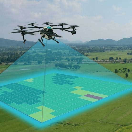
UAV-based aerial data collection for large or hard-to-access sites, delivered fast and to survey accuracy.
Learn more →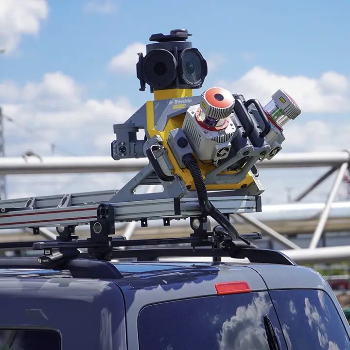
Vehicle and ground-based mobile mapping systems capturing continuous geospatial data along corridors and routes.
Learn more →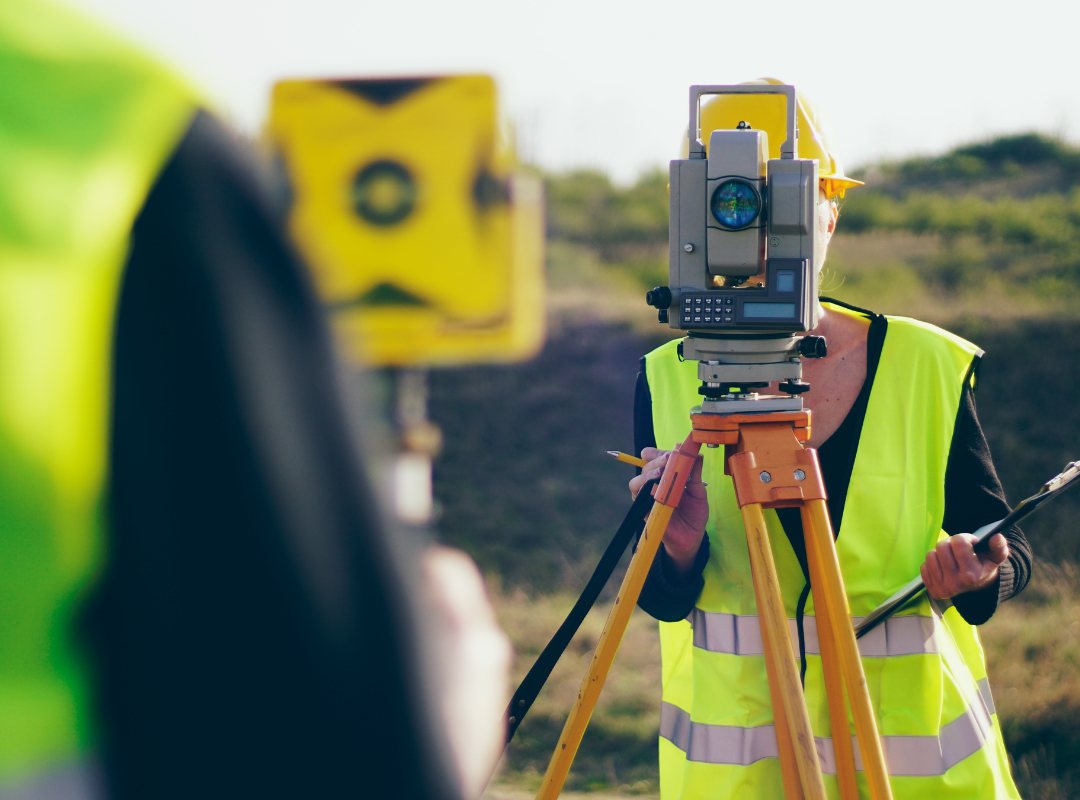
Detailed elevation, contour and terrain datasets that form the foundation of civil and infrastructure design.
Learn more →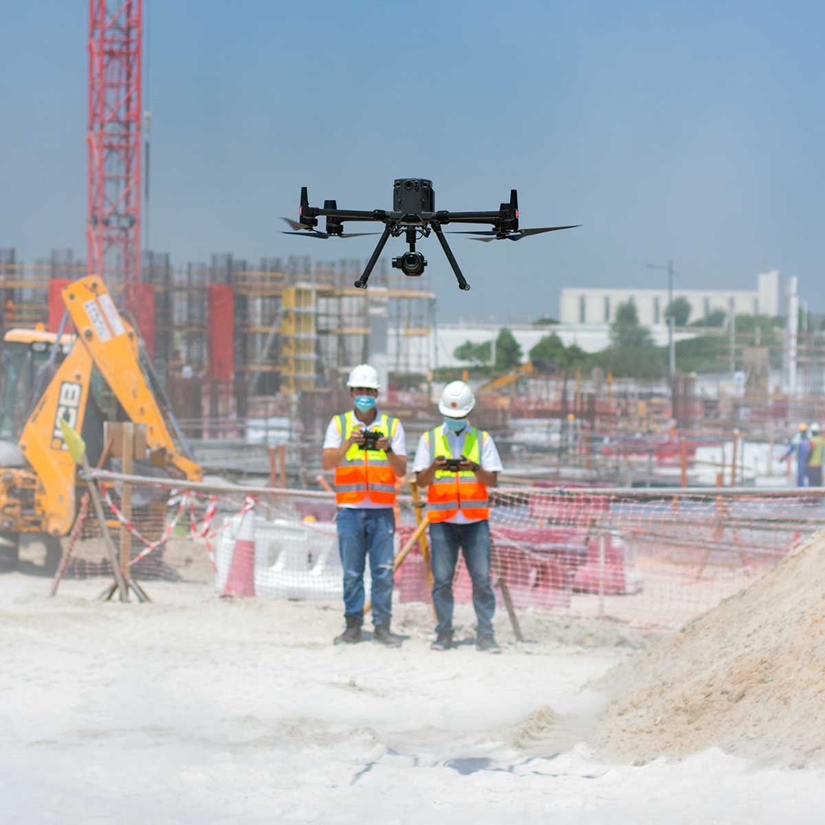
Scheduled aerial capture that tracks site progress over time, comparable against plan and program.
Learn more →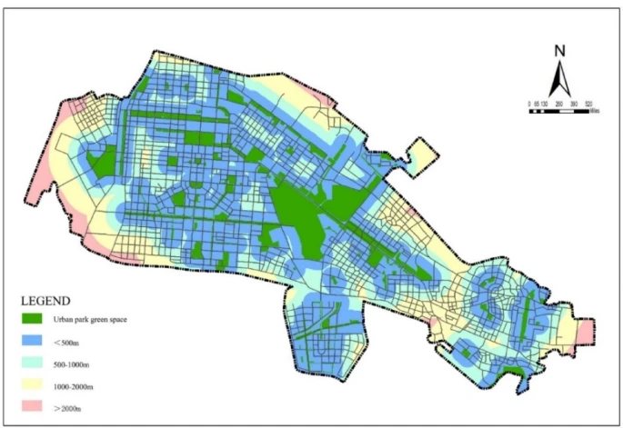
Geographic information systems that structure, analyze and visualize spatial data as layered, decision-ready maps.
Learn more →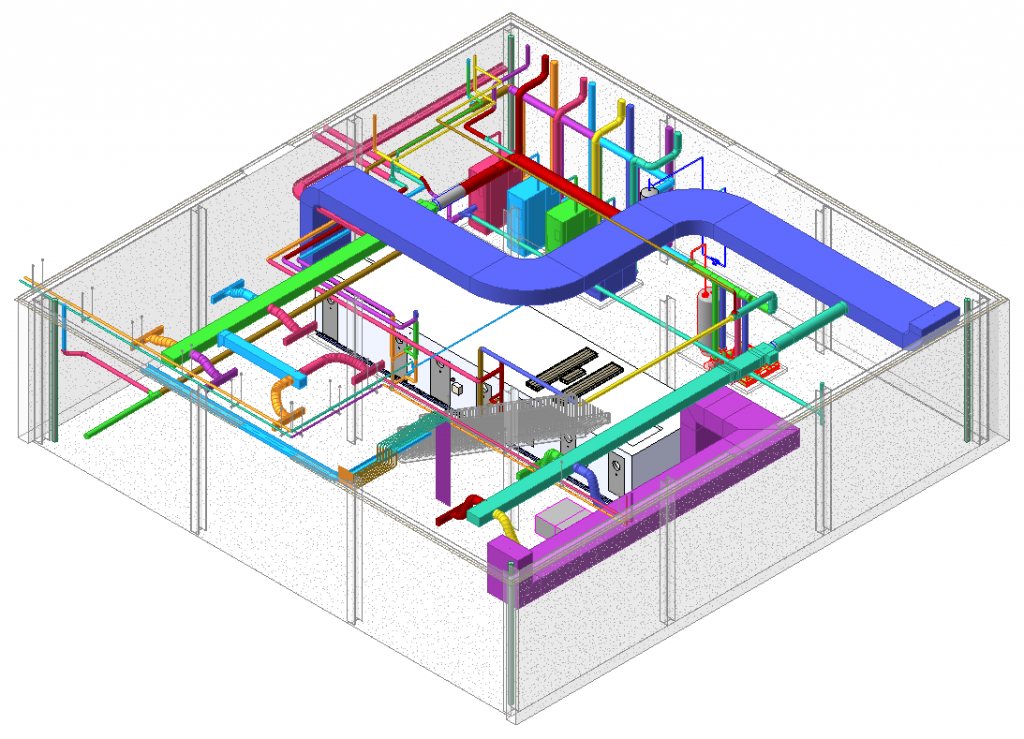
Survey data converted into coordinated, design-ready BIM models for architecture, structure and MEP teams.
Learn more →We don’t just fly drones — we deliver processed, structured, standards-aligned data that plugs directly into your existing survey, GIS and BIM workflows.
Based in Dubai, with project experience across the UAE.
Geo Metrix is based in Dubai and provides drone survey, photogrammetry, mapping, GIS and BIM services across all seven Emirates, including Abu Dhabi, Sharjah, Ajman, Ras Al Khaimah, Fujairah and Umm Al Quwain.
Yes. Geo Metrix operates under full GCAA and DCAA approval, meeting UAE civil aviation requirements for commercial drone operations.
Photogrammetry converts overlapping aerial photographs into measurable outputs — orthomosaics, digital surface models, point clouds and textured 3D models. It’s used for site mapping, volumetrics, progress documentation and as a base for GIS and BIM workflows.
Depending on the service, we deliver orthomosaics, digital surface models, point clouds, 3D textured models, GIS layers or BIM-ready models — formatted for the CAD, GIS and BIM software your team already uses.
We work with construction and real estate developers, infrastructure and road projects, urban and master planning teams, utilities and energy companies, oil and gas operators, government and municipal bodies, and architecture and engineering (AEC) firms.
Tell us about your project and we’ll recommend the right capture and deliverable package.