Real drone survey, photogrammetry, GIS and BIM projects from Geo Metrix — the challenges, the process, and the deliverables our clients actually used.
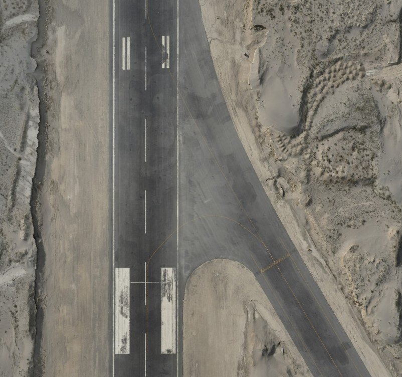
A live, operational airport needed a full base survey of its 10 km² site — captured under strict local civil aviation authority compliance and delivered as DWG, DEM and 3D model outputs the planning team could design against immediately.
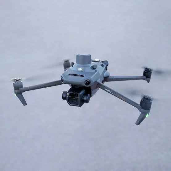
A regional irrigation department needed a complete topographic survey of its 100 km² command area — captured to 1–2 cm accuracy across 300+ ground control points and delivered as survey drawings, DEM and a Civil 3D surface in 4 weeks.
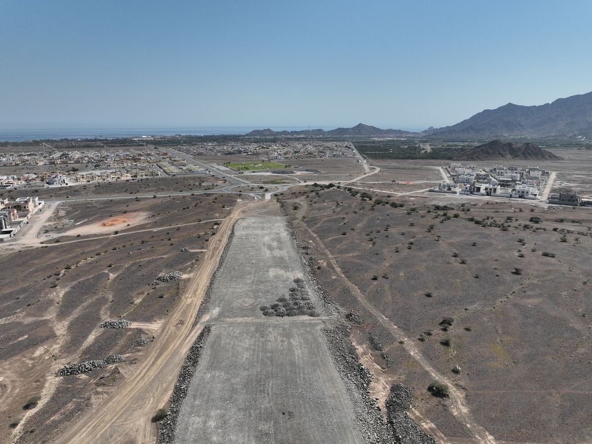
A contractor needed construction progress shown in video format, not our usual imagery or CAD outputs. We captured the full 15 km corridor and delivered the finished progress video within 24 hours.
Tell us about your site and requirements — we’ll scope the right capture and deliverable package.