An irrigation department needed a complete topographic survey of its 100 km² dam command area — canals, structures and agricultural land — to support irrigation network planning. Geo Metrix delivered survey-grade data, validated across 300+ ground control points, as CAD- and Civil 3D-ready outputs in four weeks.
The client — a regional irrigation department — needed a single, accurate topographic base covering its entire 100 km² dam command area: irrigation canals, water control structures, agricultural land and boundaries. The engineering team required CAD and Civil 3D-ready data they could design against directly, rather than a raw imagery set needing separate conversion.
At this scale, the survey had to hold consistent, survey-grade accuracy across more than 120 individual drone flights — with no visible seams, drift or mismatch between adjoining flight blocks — while staying inside a fixed capture and delivery schedule.
Discuss Your Site
Three factors shaped how this survey was planned and flown:
A staged approach built to hold accuracy across a very large, low-feature site.
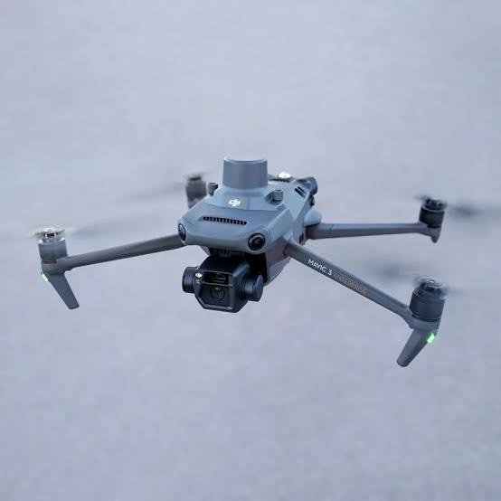
We established a 300+-point ground control network across the 100 km² command area using dual-frequency GPS, secured approvals from all relevant authorities, and planned 120+ flight missions for full, seamless coverage at 120 m altitude.
Over two weeks, our UAV fleet systematically flew the full command area. Captured data was encrypted at the point of storage and backed up daily throughout the mobilization.
The full dataset was processed into an orthomosaic, dense point cloud and DEM, then checked against all 300+ ground control points to confirm 1–2 cm accuracy before topographic features were extracted for CAD.
Survey drawings, the DEM and a Civil 3D surface model were built, QA'd and packaged for handover — four weeks after mobilization, start to finish.
Every output was formatted to plug directly into the client engineering team's existing CAD and Civil 3D workflows.
A full 2D CAD drawing set of the 100 km² command area — canals, water control structures, boundaries and topographic detail.
A continuous elevation surface across the full command area, giving the engineering team the terrain data needed for hydrological and irrigation analysis.
An AutoCAD Civil 3D-ready terrain surface model, built for irrigation network and grading design work across the full command area.
Validated against 300+ ground control points, holding survey-grade accuracy uniformly across the entire command area.
Full 100 km² coverage, processing and QA'd Civil 3D deliverables were completed inside the department's fixed schedule.
120+ individual flights combined into a single, consistent survey with no visible seams or accuracy drift between blocks.
All captured imagery, models and deliverables were encrypted in transit and at rest throughout capture, processing and handover.
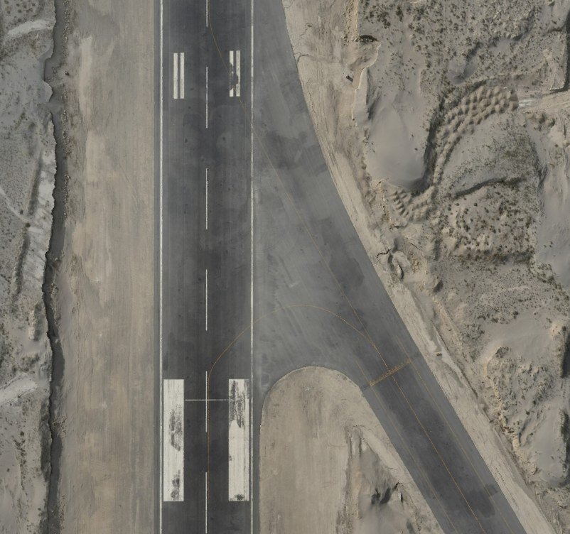
A 10 km² live airport site captured in 2 days and delivered as DWG, DEM and 3D model outputs in 15 days.
Read Case Study →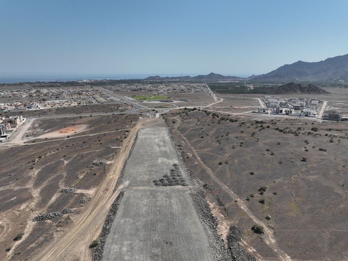
A 15 km road corridor captured and delivered as a finished progress video within 24 hours.
Read Case Study →Tell us about your site, accuracy requirements and timeline — we’ll scope the right capture and delivery plan.