A survey-grade base map of a live 10 km² airport site — captured without disrupting flight operations, delivered as DWG, DEM and 3D model outputs ready to design against.
An airport authority entering master planning needed an accurate base survey of its 10 km² site, ready to drop straight into the planning consultants' CAD, GIS and BIM workflows. As a live, operational airport, the survey had to work around active flight operations and restricted airspace — all within a tight 15-day window.
Discuss Your Site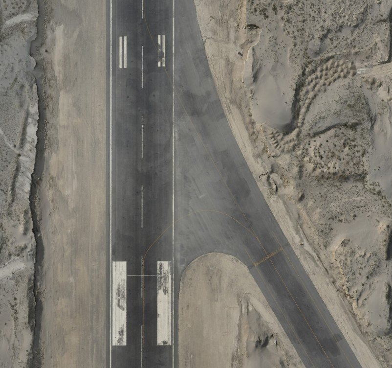
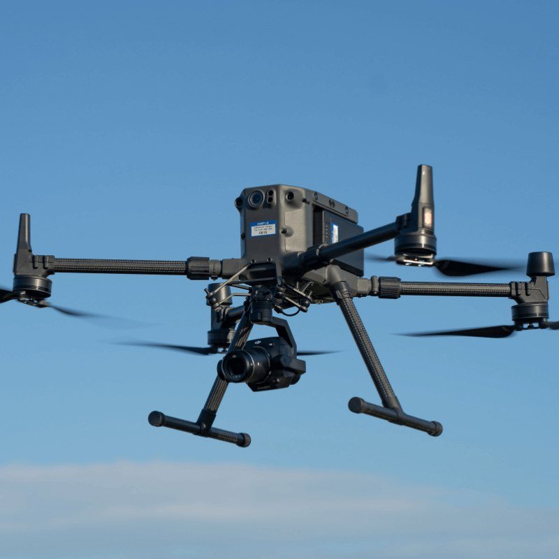
Four stages, airspace compliance to final model.
Flight approvals secured from the local civil aviation authority, with no-fly buffers mapped and flight windows scheduled around live air traffic. 100+ GCPs, established using dual-frequency GPS, and ~30 check points were distributed across the site to anchor survey accuracy.
DJI Matrice 300 RTK platforms with Zenmuse P1 sensors captured high-overlap imagery across the full site at 120 m altitude over two days, paired with RTK/GNSS ground control.
Imagery was processed into an orthomosaic, point cloud and DEM, checked against ground control, then extracted into a CAD-ready base drawing.
Outputs were QA'd and packaged into the client's required formats — handed over 15 days after mobilization.
Formatted to plug directly into the planning team's CAD, GIS and BIM workflows.
A 2D CAD basemap of the site — boundaries, infrastructure and topographic detail — as AutoCAD/Civil 3D-ready DWG files.
A gridded elevation surface across the site, for grading, drainage and earthworks studies.
A textured, navigable 3D model built for planning workshops and stakeholder presentations.
Also includes a georeferenced orthomosaic, point cloud and ground control report.
Every flight stayed within approved windows and no-fly buffers — no impact on live runway or apron activity.
Validated against 100+ GCPs and ~30 independent check points.
Full coverage, processing and QA'd deliverables completed inside the client's fixed start date.
DWG, DEM and 3D outputs loaded directly into existing CAD and BIM workflows — no conversion step needed.
A single, uniform survey gave every planning discipline the same accurate starting point.
All imagery, models and deliverables were encrypted in transit and at rest, capture through handover.
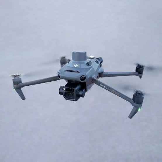
100 km² surveyed to 1–2 cm accuracy, delivered as survey drawings, DEM and a Civil 3D surface in 4 weeks.
Read Case Study →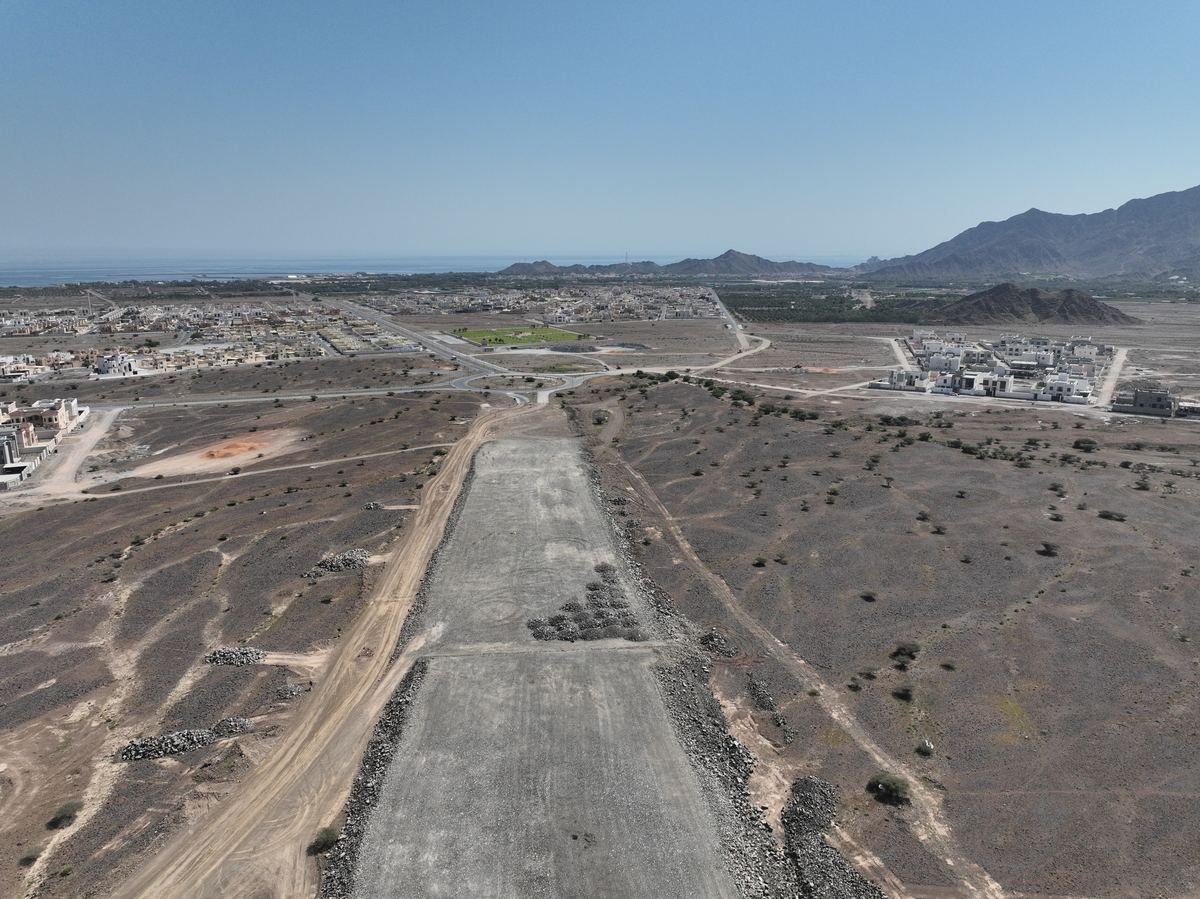
A 15 km road corridor captured and delivered as a finished progress video within 24 hours.
Read Case Study →Tell us about the site and your airspace, timeline and deliverable requirements — we’ll scope the right capture and delivery plan.