A contractor building a 15 km road corridor in Dibba Al Fujairah needed a fast, easy-to-circulate way to show construction progress internally. Geo Metrix captured the entire corridor in video mode and delivered the finished progress video within 24 hours — capture and delivery in a single day.
Most of our progress-monitoring work is delivered as orthomosaics and structured reports. On this project, the client asked for something different — a continuous video flythrough of the full 15 km corridor, formatted for quick internal circulation rather than technical analysis, and needed on the same day it was captured.
Rather than fitting the client into our standard deliverable format, we adapted the capture and edit workflow to match exactly how their team reviews progress — without adding a single day to the schedule.
Discuss Your Site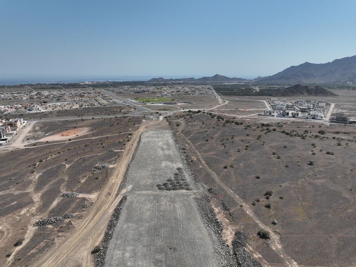
Covering a long, narrow road site needs a continuous route-based flight plan, not the area-grid pattern used for open sites.
A 24-hour window from flight to finished video left no room for delays in editing, review or export.
The client needed a video deliverable for quick internal circulation — not our usual orthomosaic, DEM or DWG outputs.
A continuous flight path was planned along the full 15 km corridor to capture the entire road in a single flying day.
A DJI Matrice 4E flew the corridor in video mode, capturing current construction and site conditions along the full route.
Footage was reviewed, stabilized and edited into a clear progress-review video the same day, with all footage encrypted throughout handling.
The finished video was delivered within 24 hours of capture, in the format the client’s team needed for internal circulation.
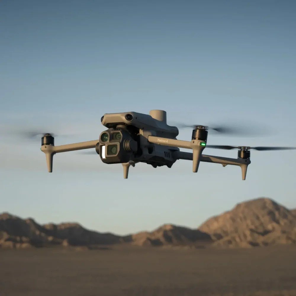
A single, dated flythrough of the full 15 km corridor — edited and formatted for fast internal review, ready to circulate to stakeholders the same day it was flown.
All 15 km of the road were captured in a single day, with no return mobilization needed.
The finished video reached the client the next day, with no delay to their internal reporting cycle.
A video deliverable built around the client’s own review process, not our standard reporting template.
Captured footage was encrypted in transit and at rest from capture through to final delivery.
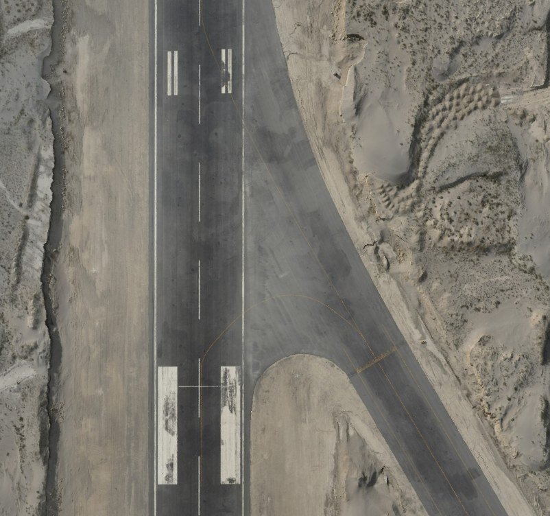
A 10 km² live airport site captured in 2 days and delivered as DWG, DEM and 3D model outputs in 15 days.
Read Case Study →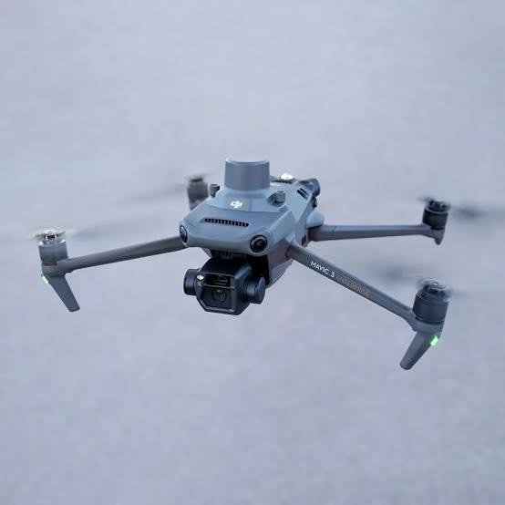
100 km² surveyed to 1–2 cm accuracy, delivered as survey drawings, DEM and a Civil 3D surface in 4 weeks.
Read Case Study →Tell us how your team reviews progress — we’ll build the capture and delivery plan around it.